|
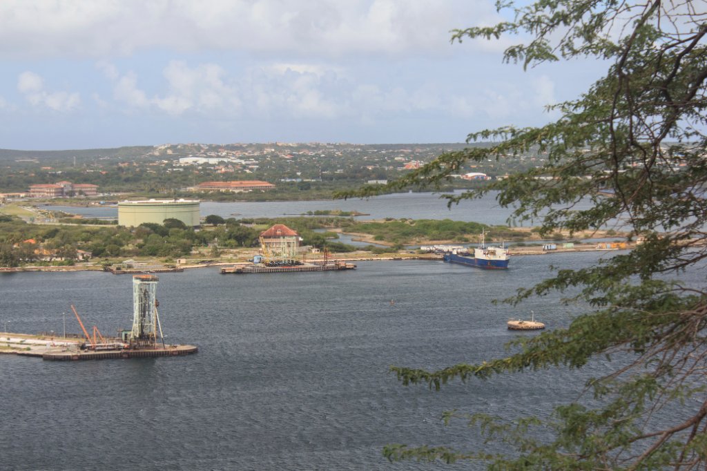 |
| Negropont and Emmastad from Fort Nassau | |
| Latitude: N 12°6'55,06" | Longitude: W 68°55'35,81" | Altitude: 41 metres | Location: Valentijn | Country: Curaçao | Copyright: Ron Harkink | See map | |
| Total images: 77 | Help | |
|
|
|
| Negropont and Emmastad from Fort Nassau | |
| Latitude: N 12°6'55,06" | Longitude: W 68°55'35,81" | Altitude: 41 metres | Location: Valentijn | Country: Curaçao | Copyright: Ron Harkink | See map | |
| Total images: 77 | Help | |